

Point cloud in.
IFC model out.
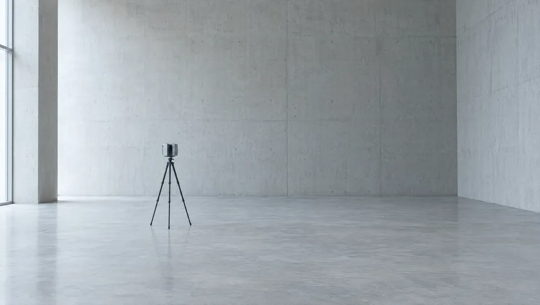
Drop a laser scan of a building. Minutes later you have a structured model you can open in Revit or Archicad.
Drop your point cloud here
.e57 · .las · .laz
Register → upload → see your price → pay and download. No card to start.
Uploads are not open yet. Check back soon.
Scan to BIM: the same building, three ways


Your scanYour modelBoth, overlaid
You see your own building like this, with its floor area and its price, before you pay anything.
BIM modelling should not belong only to the firms with the biggest budgets. Any architect, BIM manager or GIS specialist should be able to turn a scan into a model they can trust. Built with the same mathematics an engineer would use by hand, at a speed no human team could match.
A point cloud is millions of x, y, z coordinates describing surfaces that are straight, level and proportional because they were built that way. click2BIM reconstructs that geometry deterministically, with maths you can follow.
How it works
250+ models generated
BIM for everyone
50,000+ m² processed
40+ engineers behind